Gökçeada Rock Tombs: Ancient Sarcophagus Workshop Guide
- Located in the Kokina area, southern Gökçeada, ~18 km from the center
- Roman-era (27 BC – 476 AD) rock tombs
- One of Turkey's rare sarcophagus production workshops
- Free entry, open 24/7 — no signpost, GPS coordinates essential
- Coordinates: 40.130626° N, 25.898626° E
I drove the southern coastal road of Gökçeada for years without noticing that rock block. One autumn, I was out with a journalist friend researching the island; as we descended from Aydıncık toward Uğurlu, he suddenly stopped, "There," he said. I had passed by it for years — never saw it.
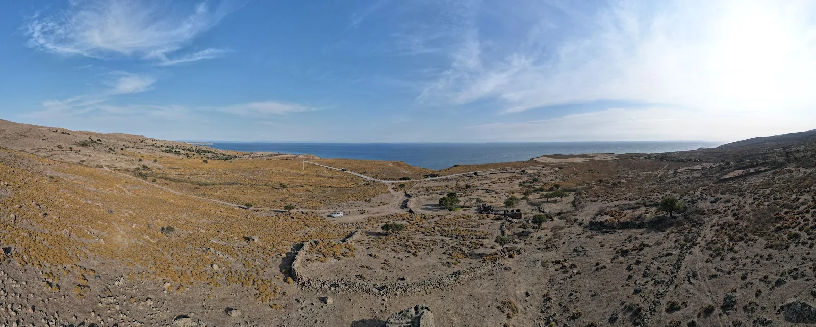
The tombs are carved into an anthracite-colored rock block unlike anything around it. Two rectangular cavities, side by side, in about 3 meters of rock. The lids lie about 80 meters away from the tomb — who left them, when, unknown. These structures, estimated to be from the Roman period, are not a cemetery; they are the remains of a workshop abandoned by sarcophagus makers. Without knowing this, they look like ordinary stone. If you pause and feel their commanding position over the sea, they tell a different story.
Where and How to Get There?
About 18 km south from Gökçeada center. After Gökçeada Municipality, pass Aydıncık Beach, continue toward Uğurlu — around the 4th kilometer, on the right side of the road, in a stone-surrounded area. The last 100 meters are not accessible by car; park by the roadside and walk.
No official signpost — hard to find without GPS. Save the coordinates in advance: 40.130626° N, 25.898626° E. Many visitors miss it for this reason.
| Info | Detail |
|---|---|
| Entry | Free |
| Visiting hours | Open 24/7 |
| Distance from center | ~18 km (south direction) |
| Last stretch | ~100 m on foot |
| Parking | Roadside, no official parking |
| WC / cafeteria | None — nearest at Aydıncık Beach (~4 km) |
| GPS coordinates | 40.130626° N, 25.898626° E |
| Best time to visit | April–September, early morning or late afternoon |
Southern Corridor Combo Route
The Rock Tombs aren't a standalone stop; they're a natural part of the southern route. A half-day plan could be:
- Center → Aydıncık Beach (sea, swimming)
- Salt Lake (flamingo watching, season dependent)
- Kokina Rock Tombs (historical stop)
- Uğurlu Village
- Hidden Harbor (quiet cove, swimming)
Locals often do this route in one go — distances are short, same road. Easy 100-meter flat walk for families with kids; but no facilities, bring water and snacks.
Sarcophagus Workshop: What Makes These Structures Unique?
Turkey has many rock tombs. On the Lycian coast, in Dalyan, in Amasya. Gökçeada's structures differ fundamentally: there is no trace of any ancient settlement or necropolis nearby. These tombs were not made for burial here.
Archaeological findings suggest the site was a production and export facility. Rock carving debris, the angled cavity position, the drainage channel inside the tomb — all point to a workshop of unfinished products. It is thought the tombs were produced for shipment to nearby ancient cities, especially Kastro (Kaleköy). The lids being found about 80 meters away from the tomb doesn't seem coincidental; it's a trace of an unfinished loading process.
Difference from Other Rock Tombs in Turkey
Lycian tombs have temple facades, Phrygian tradition has lion reliefs — none here. These structures are plain, functional, unadorned. If you come expecting Dalyan or Myra, you may be disappointed — the value here lies not in visuals but in the workshop context and the sea-facing location. No parking, no shade; come knowing this.
Archaeological Layers of Gökçeada
Telling the story of the rock tombs without knowing the island's history is incomplete. Excavations at Uğurlu-Zeytinlik Mound revealed the earliest agricultural settlement in the Aegean islands, dating to 6800 BC. This finding makes Imbros one of the two islands of the first agricultural communities in the Aegean, alongside Knossos.
The rock tombs are a link in this long timeline. There is a continuity from Neolithic villages, through Classical period settlement on the Hellespont route, Roman workshops, to the Genoese castle. Neolithic, Bronze Age, Classical, Roman, Byzantine, Genoese, Ottoman — much of these layers still await excavation. There isn't even a comprehensive academic publication specific to the rock tombs; this uncertainty doesn't diminish their visit value, but rather makes them intriguing.
If you're heading south this season, first check current ferry schedules; off-season services are less frequent. Also check the weather on the day of your visit — the southern coast is open, unprotected from wind. If you'd like to stop at Ömer's Place along the way, just drop by Uğurlu.
Frequently Asked Questions
Where are the Gökçeada Rock Tombs?
In the Kokina area of Çınarlı neighborhood, on the right side of the Aydıncık-Uğurlu road. About 18 km south of the center. GPS coordinates: 40.130626° N, 25.898626° E. Hard to find without navigation due to no official signpost.
Is there an entrance fee?
No, it's completely free and open 24/7 as a natural area. No tickets, booths, or gates.
Which period do they date from?
Exact dating hasn't been done; they are estimated to be from the Roman period (27 BC – 476 AD). No comprehensive academic study specific to the site has been published yet.
Why is there no signpost?
The site is not under official protection or museum registration. Information is available on municipal and district governorate websites, but no physical signage has been installed. Save the GPS coordinates in advance.
What else is nearby?
On the same southern corridor: Aydıncık Beach (~4 km), Salt Lake, Uğurlu Village, Hidden Harbor, and Marmaros Waterfall. You can combine the rock tombs with this route for a half-day tour. For more on Gökçeada's historical and cultural heritage, check out Gökçeada's cultural heritage.
While planning this route, you can also consider local food stops like Ömer's Place along the way.
Also, if you want to explore other villages and cultural riches of Gökçeada, check out our Gökçeada villages travel guide.
Our article on Gökçeada's architecture from stone houses to churches is just for you.
📍 Merkez (Çınarlı) — Harita
📍 Bu Bölgedeki İşletmeler
🍽️ Yeme & İçme
🏷️ Etiketler: